Proserpina Reservoir
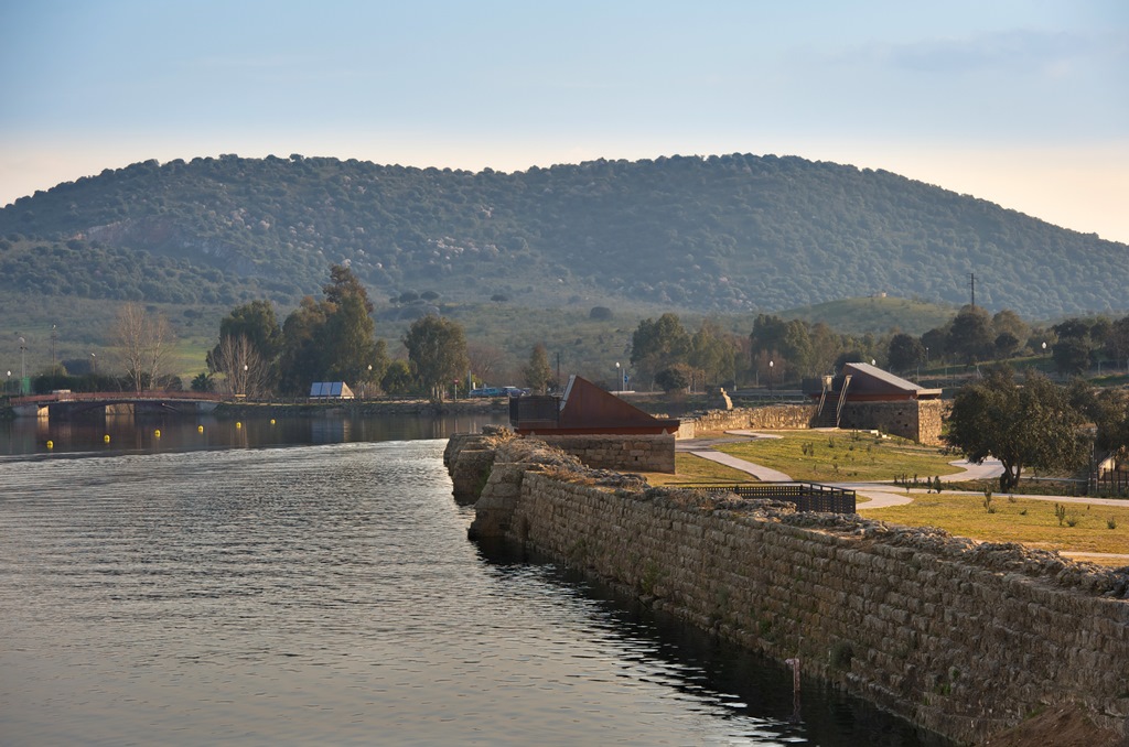
At about five kilometres northwest of the city, there is a Roman marsh which used to be called Albuera de Carija and which changed its name to Proserpina marsh after the discovery in the 19th century, of an inscription of a woman calling this goddess of the underworld to punish those who had stolen the laundry she had hung up. Proserpina is now one of the best conditioned fresh water beaches of Extremadura.
The reservoir, one of the biggest of the antiquity, is 425 metres long and 21 metres high and it closes a natural bassin in which two streams converge and which also collects rainwater and water from a spring. It shows various construction phases. The oldest one, from the 1st century which you can find underwater now, is a wall of ashlars with ashlar buttresses upstream. The ones added afterwards (between the 2nd and the 17th century) create a sloping front with buttresses upstream. These extensions were made either to increase the capacity of the basin or because the original basin was clogged with mud and since it was impossible to dredge it, it was extended.
Downstream the reservoir rested on a great fill of land. Backed against the reservoir and crammed into the fill, there are two towers used to access the water supply at different heights on the reservoir wall. From these towers, the water went to the hydraulic system which reached the north of the city before crossing the Albarregas valley via the aqueduct of Los Milagros.
If we want to know the importance this liquid element had for life in the Colony, it is indispensable to visit the Water Interpretation Centre located in the surroundings of the reservoir.